The First Maps
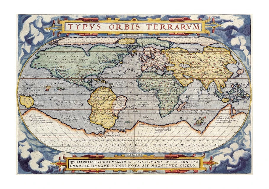

A little while ago, I had a rove around the I Love Maps site searching for the oldest map we held as a print (1570 Map of the World by Abraham Ortelius, pictured above) which got me wondering just how long people had been using maps. I thought that perhaps most early maps were temporary, drawn in the dirt or with charcoal, and that really what I would discover was the point at which maps could be made in a material that would last the test of time, or mass printed. So, I set out to test my theories!
The first thing that I discovered was that this was a massive subject referencing some of the world’s greatest thinkers who sometime made mistakes. Christopher Columbus nearly came unstuck after taking the advice of Ptolemy who rather widely miscalculated the circumference of the earth and the land coverage. Columbus’ journey was much longer than expected, but he did find America on the way.
The first maps were discovered in caves and were not of the earth but of the stars. The walls of the Lascaux caves in France bore maps of part of the night sky dating to 14,500 BC. In Spain. the Cuevas de El Castillo contains a 12,000 BC dot map of the Corona Borealis constellation.
Etchings have also been found on tusks and stones. Representations tended to be simplistic markings of the landscape but impressively a map of mountains, rivers, valleys and routes around Pavlov in the Czech Republic has been dated to 25,000 BC. This carving, on a mammoth tusk, makes it possibly the oldest known map of all time.

Still BC, the cartographers of ancient Babylon, Greece, Rome, China and India seem to have been the trailblazers of mapping. In Ancient Greece. Homer became regarded as the founding father of geography, except that his actual depiction of the earth was a circular flat disk surrounded by ocean, very much a representation of what he himself might see from a high vantage point. It is now mostly accepted that this knowledge of the earth itself was limited.
In the age of classical Greece maps were drawn onto a globe, overcoming the continuing problem of drawing a spherical map onto a 2d material.

The later development of maps relied on giving geographical studies a mathematical basis and a scientific estimate of the circumference of the earth. The Greek scholar credited with this was Eratosthenes (275–195 BC) but it was not accepted without resistance. A historian of science George Sarton, said of him, "there was among them [Eratosthenes's contemporaries] a man of genius but as he was working in a new field they were too stupid to recognize him".
This is a much more interesting subject than I’d imagined! More to follow…
Comparatively modern ancient world maps on I Love Maps!

Leave a comment