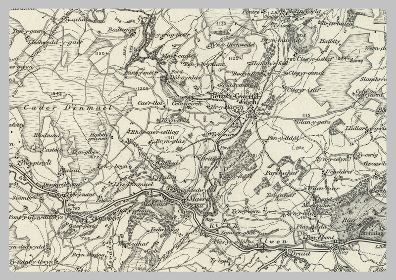
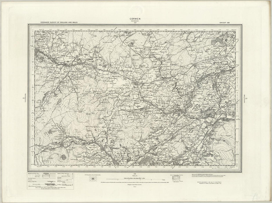
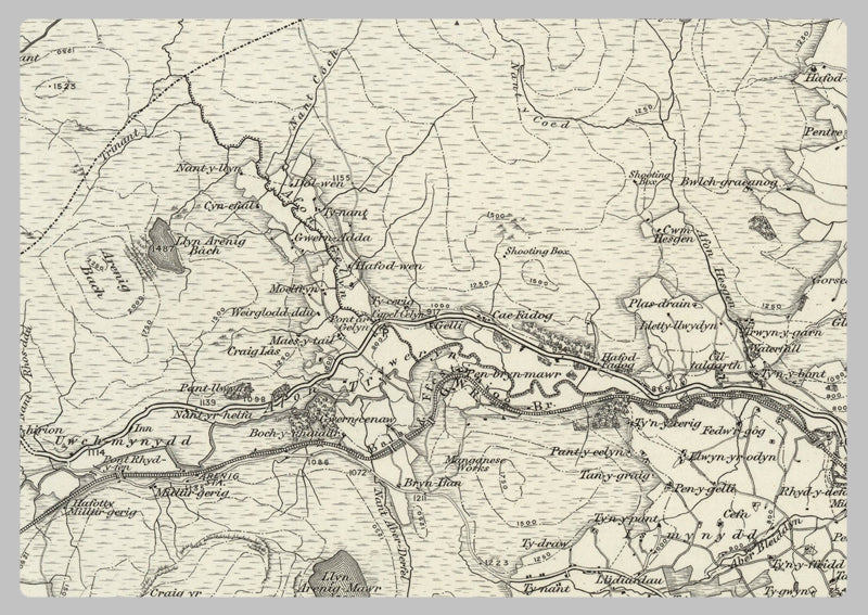
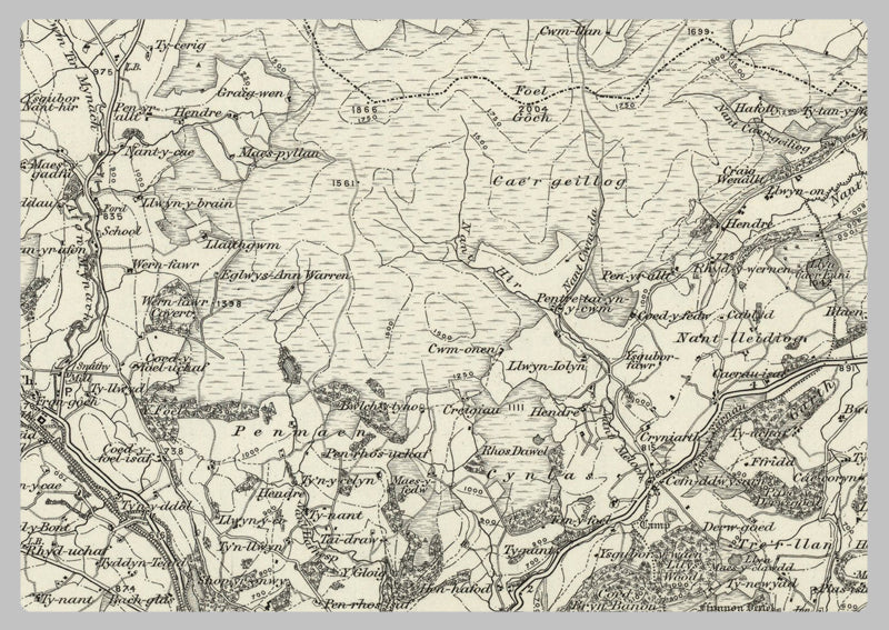
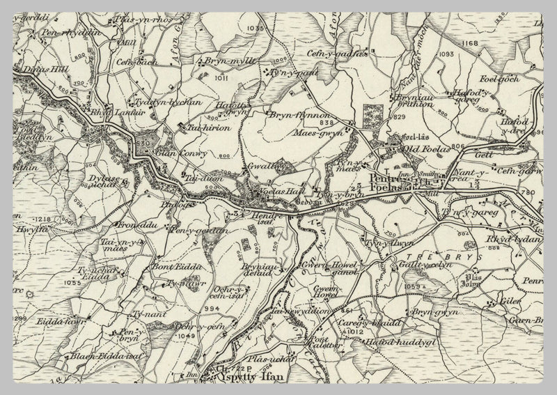
1890 Collection - Corwen (Denbigh) Ordnance Survey Map
This map of Corwen (Denbigh) from the 1890 1/63360 scale ordnance survey collection is a highly detailed map showing buildings, towns and villages, contours, roads and much more. It's perfect for anyone interested in the history of the area. The map also includes railway lines, geographical features, churches, and nearby landmarks.
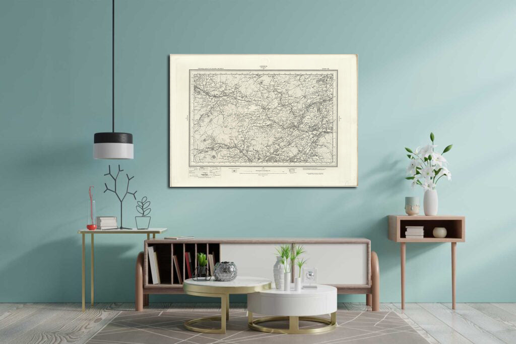
Our 1890 Collection prints are great for anyone who loves history and seeing how their local area has evolved over time. Whether you frame them or use them as posters, they offer a great peek into the past.
High Quality Paper: Printed onto high quality poster paper which is durable and is non- tearable.