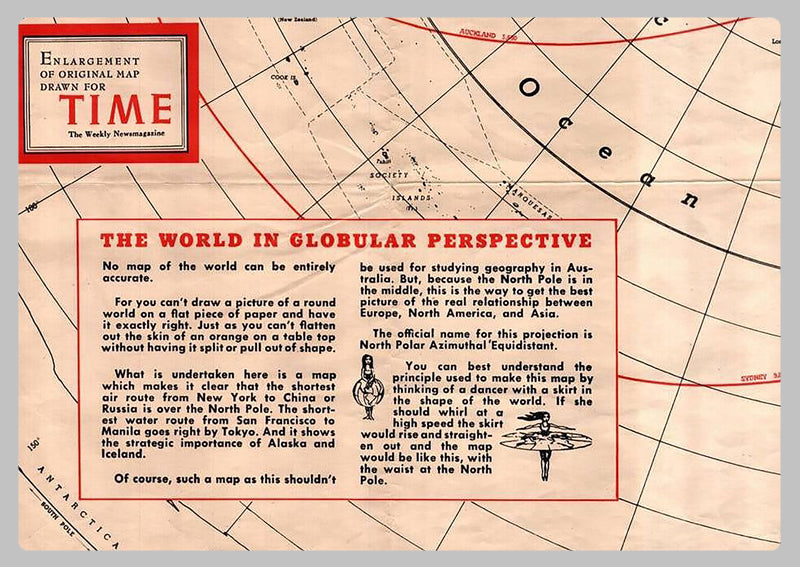
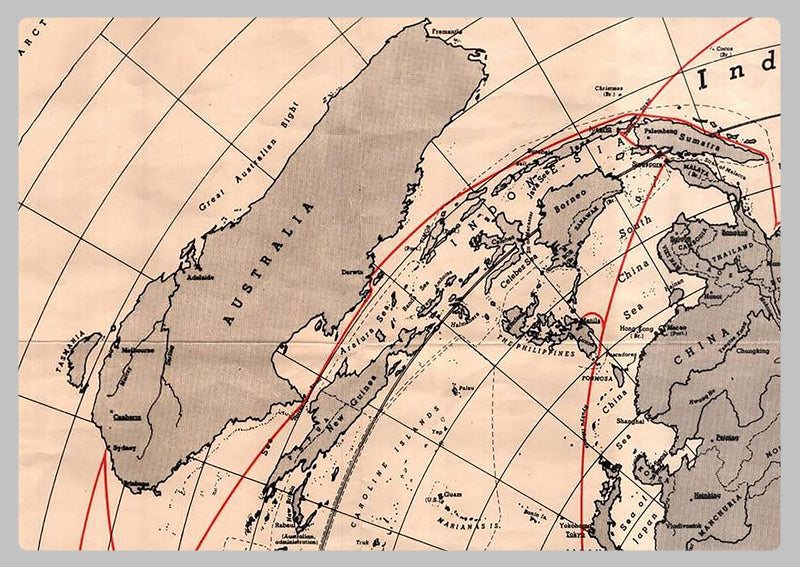
1950 - North Polar Azimuthal Equidistant Projection Map
This map was published in 1950 by the American magazine Time. It's an azimuthal equidistant map centered in the North Pole and shows some maritime distances from New York and San Francisco. The azimuthal equidistant projection is an azimuthal map projection. It has the useful properties that all points on the map are at proportionally correct distances from the center point, and that all points on the map are at the correct azimuth (direction) from the center point. A useful application for this type of projection is a polar projection which shows all meridians (lines of longitude) as straight, with distances from the pole represented correctly. This map will serve as a valuable resource for cartographers, astronomers, or anyone studying the geographical and historical details of the Northern Hemisphere. Its accurate projection ensures that observers can easily interpret and measure directions and distances.
High Quality Paper: Printed onto high quality poster paper which is durable and is non- tearable.