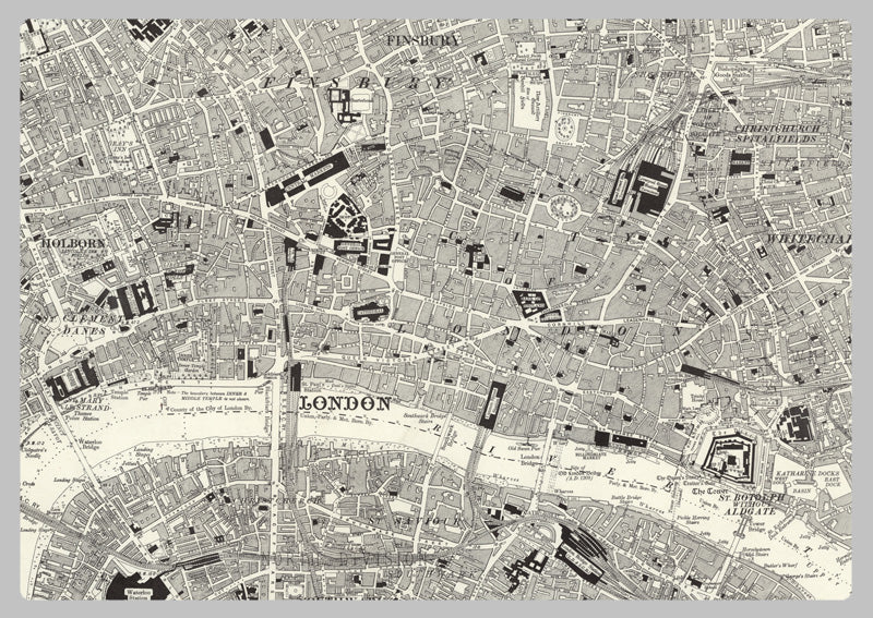
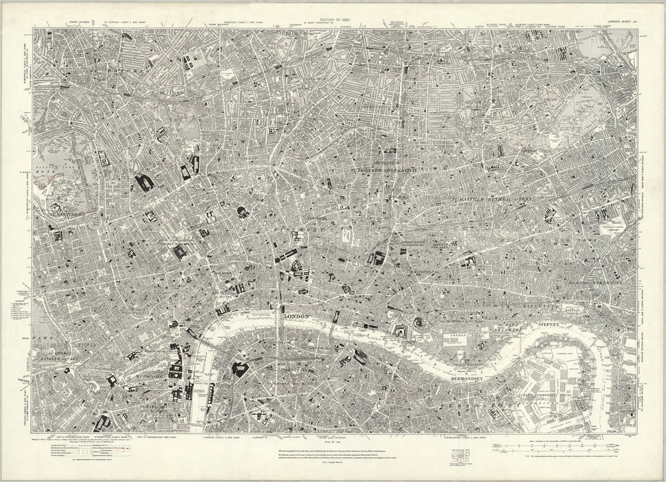
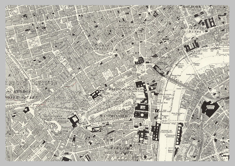
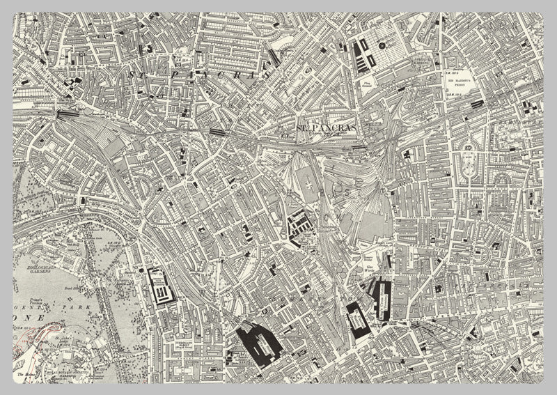
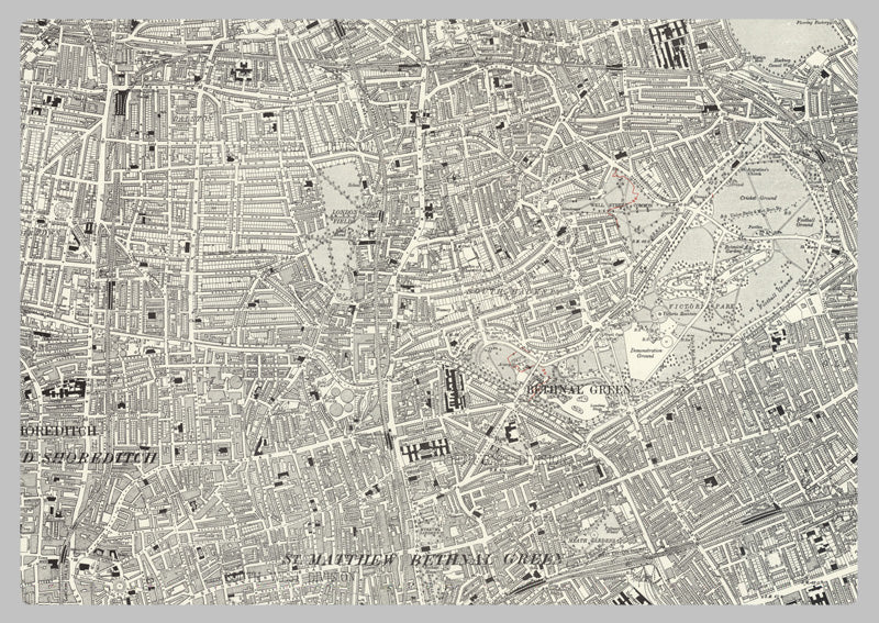
1920 Map of Central London - Ordnance Survey 1:10,560 Scale
This is a highly detailed historic map of London in the Victorian era. Covering the areas of Tower Hamlets in the east, Regents Park in the west, Islington in the north and New Kent Road in the south. London was the world's largest city from about 1831 to 1925, with a population density of 325 per hectare. It's an invaluable resource for historians and those with an interest in London of that period. It features a scale of 1:10,560, allowing you to gain insight into the city's topography and development.
High Quality Paper: Printed onto high quality poster paper which is durable and is non- tearable.