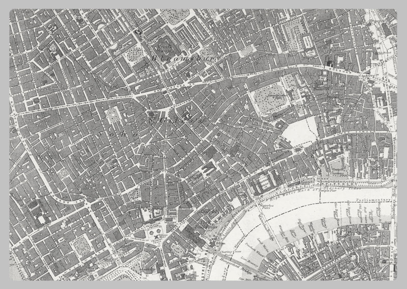
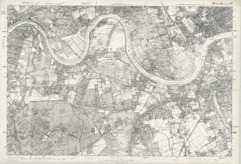
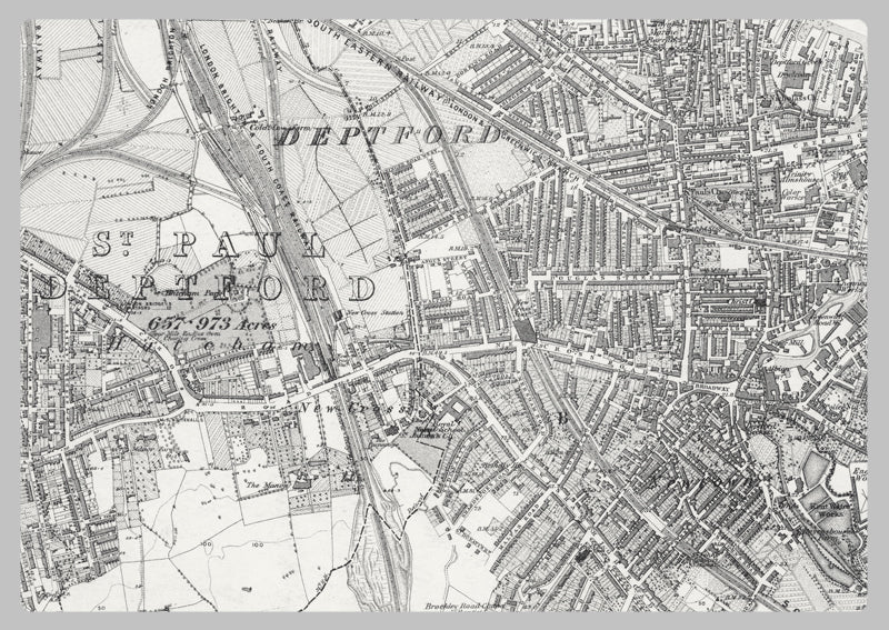
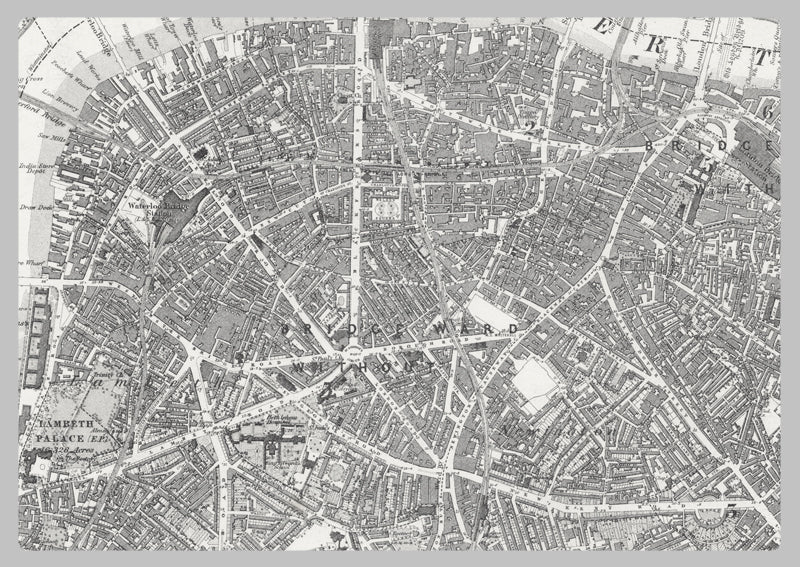
1872 Ordnance Survey Map of Southwest London
This Ordnance Survey map displays the boundaries of Putney, Wandsworth, Hammersmith, Barnes, Mortlake, Chiswick, Fulham, Chelsea, and the River Thames from Kew Bridge to Battersea Bridge, as well as the observed 142-year-old urban and agricultural developments of Southwest London. It offers an unparalleled level of detail for urban planners, geographers, researchers, and history buffs. Carefully crafted to provide accurate information, this map is a reliable source of knowledge.
High Quality Paper: Printed onto high quality poster paper which is durable and is non- tearable.