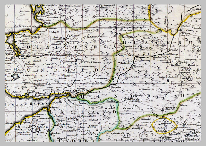
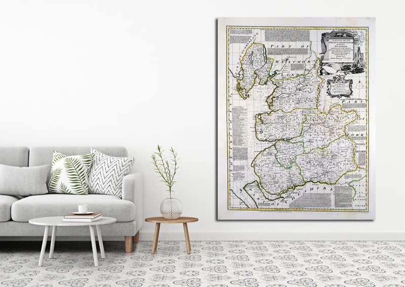
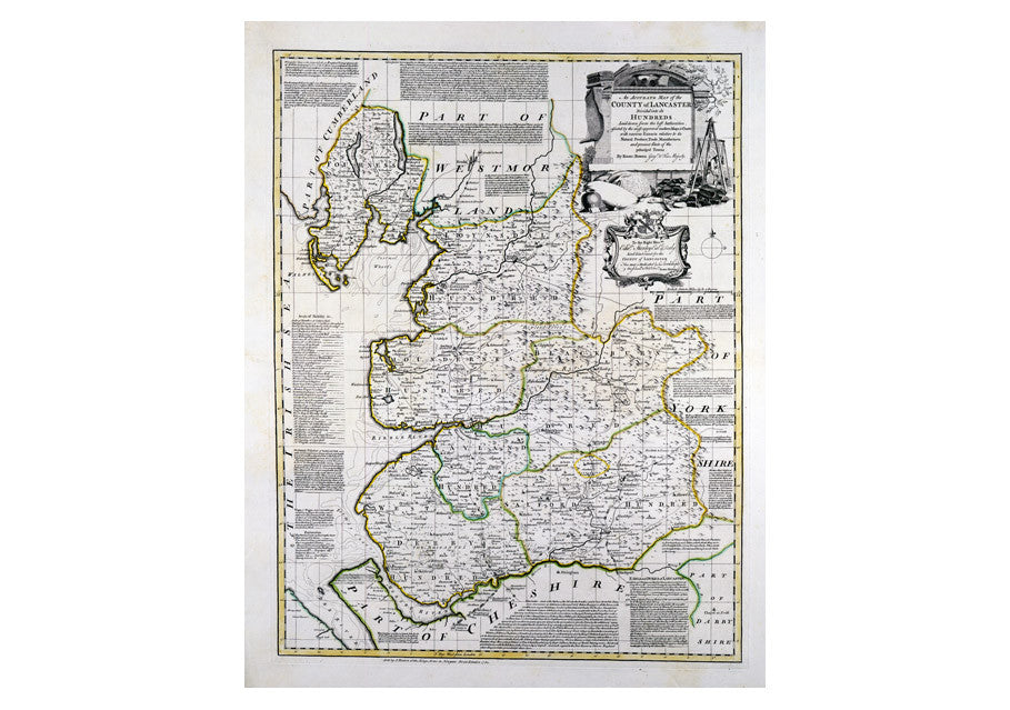
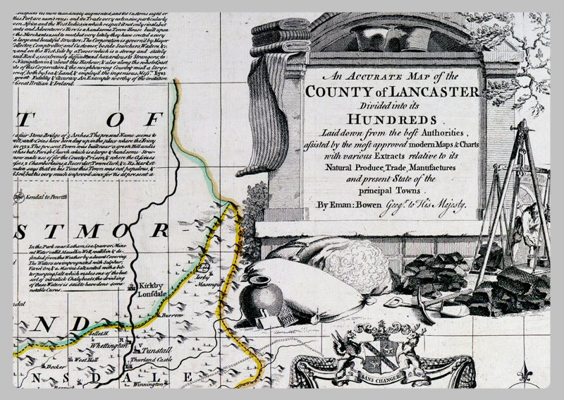
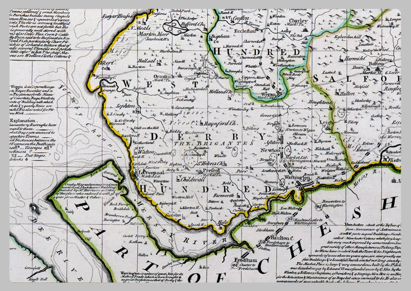
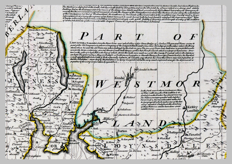
1749 - Map Of Lancashire by Emanuel Bowen
Emanuel Bowen, a renowned English map engraver who served both George II and Louis XV, produced this 1749 map of Lancashire. Apprentices of Bowen included Thomas Kitchin and Thomas Jeffreys. This fine reproduction features a survey-based map divided into its hundreds, accompanied by data regarding trade, manufacturing, and the status of major towns within the region. This beautiful and ornate design is a testament to Emanuel Bowen's mastery of the map-making craft, and a historical piece for your collection.
High Quality Paper: Printed onto high quality poster paper which is durable and is non- tearable.