Cumbria County Map
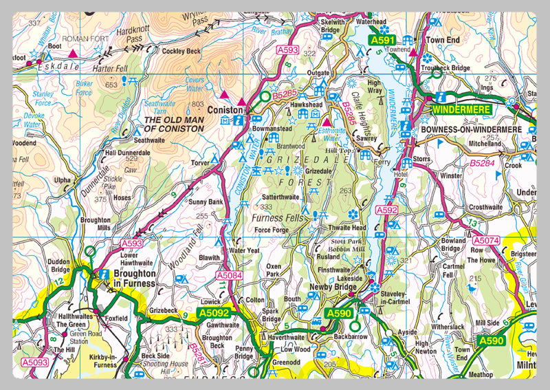
Cumbria is a ceremonial county in North West England. It borders the Scottish council areas of Dumfries and Galloway and Scottish Borders to the north, Northumberland and County Durham to the east, North Yorkshire to the south-east, Lancashire to the south, and the Irish Sea to the west.
Our County maps are 1:100,000 scale and includes town names, villages, major and minor roads, motorways, rivers, lakes, forests and more. Perfect for businesses, home office, travel and route planning, our County maps are a useful resource.
Printed onto high quality paper.