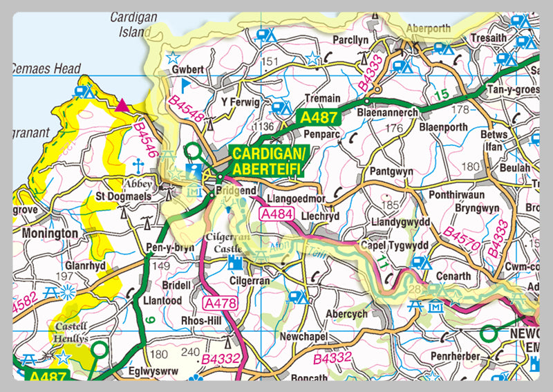
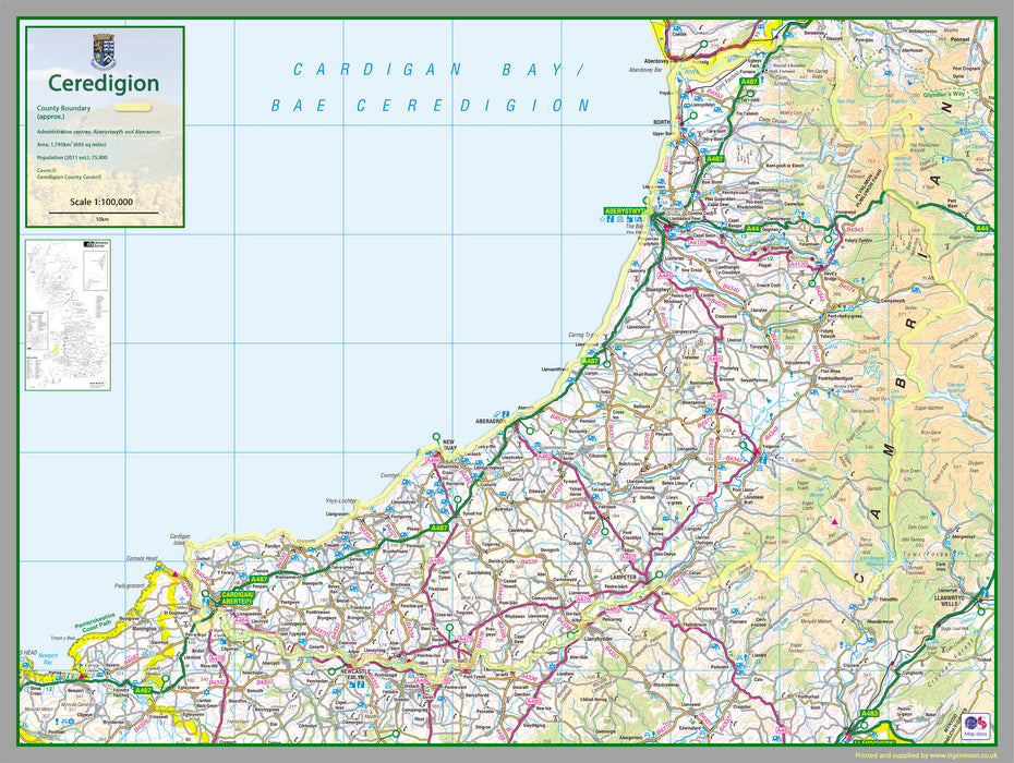
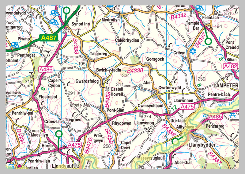
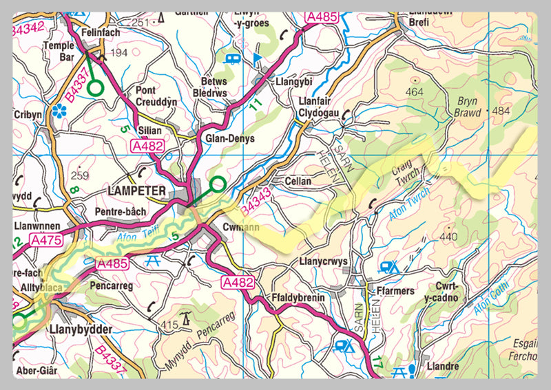
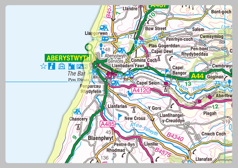
Ceredigion County Map
Ceredigion, historically Cardiganshire, is a county in the west of Wales. It borders Gwynedd across the Dyfi estuary to the north, Powys to the east, Carmarthenshire and Pembrokeshire to the south, and the Irish Sea to the west.
Our County maps are 1:100,000 scale and includes town names, villages, major and minor roads, motorways, rivers, lakes, forests and more. Perfect for businesses, home office, travel and route planning, our County maps are a useful resource.
Laminated option: Printed onto high quality paper and finished with a gloss laminate.