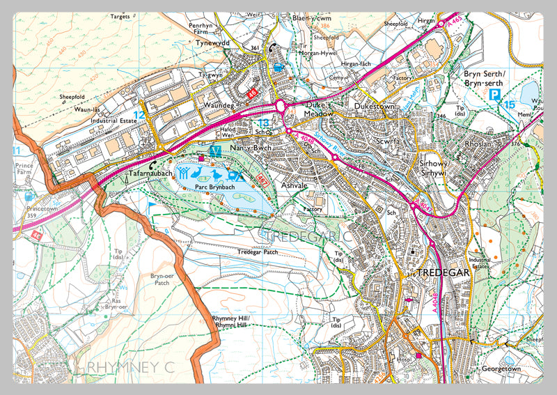
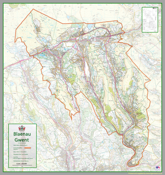
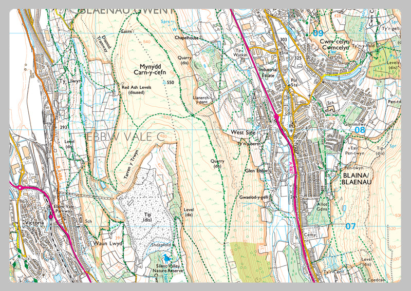
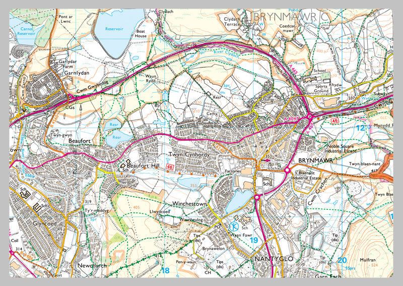
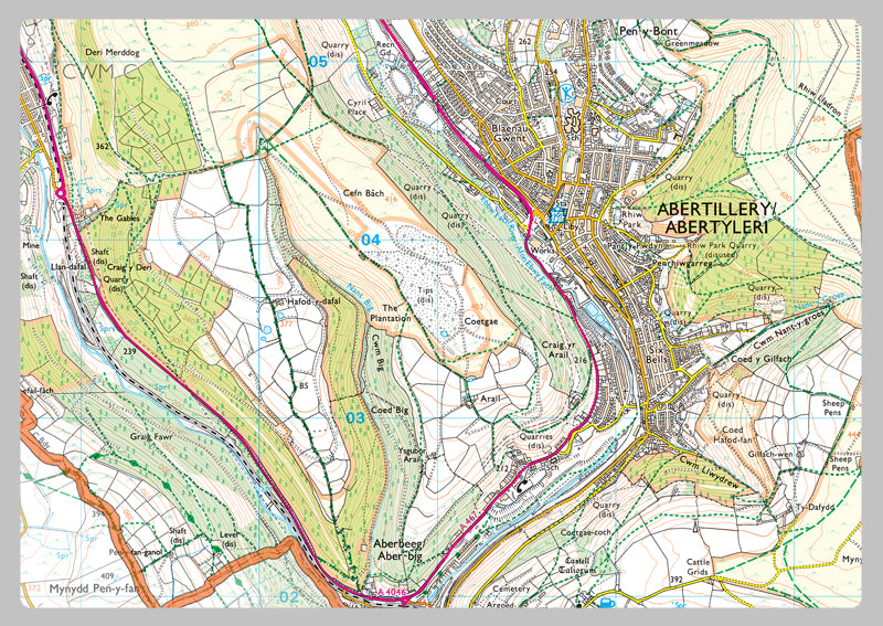
Blaenau Gwent County Map
Blaenau Gwent is a county borough in the south-east of Wales. It borders the unitary authority areas of Monmouthshire and Torfaen to the east, Caerphilly to the west and Powys to the north. Its main towns are Abertillery, Brynmawr, Ebbw Vale and Tredegar. Its highest point is Coity Mountain at 1,896 feet
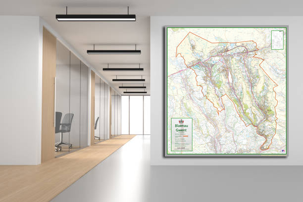
Our County maps are 1:100,000 scale and includes town names, villages, major and minor roads, motorways, rivers, lakes, forests and more. Perfect for businesses, home office, travel and route planning, our County maps are a useful resource.
Laminated option: Printed onto high quality paper and finished with a gloss laminate.