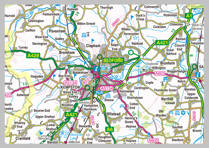
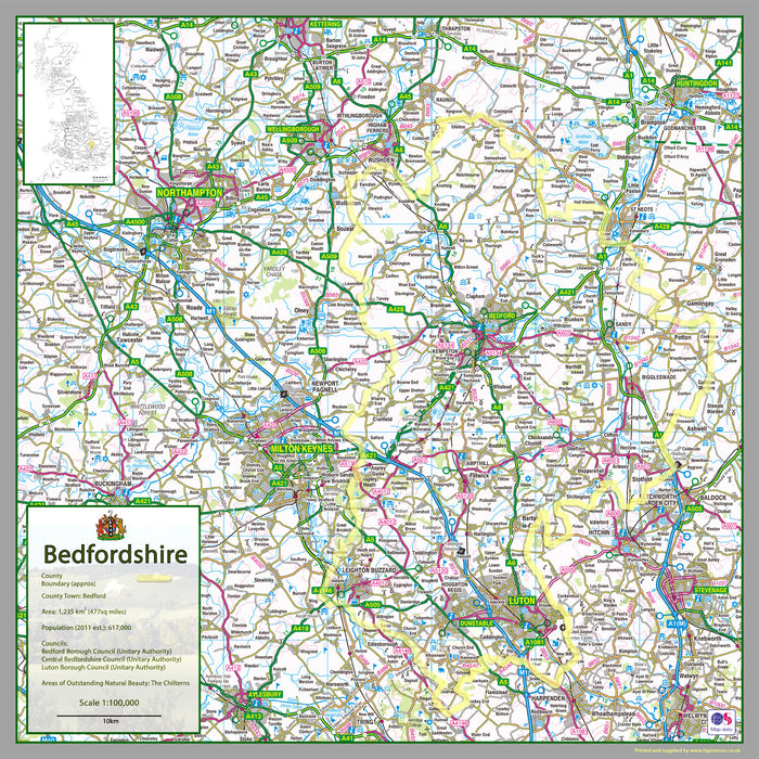
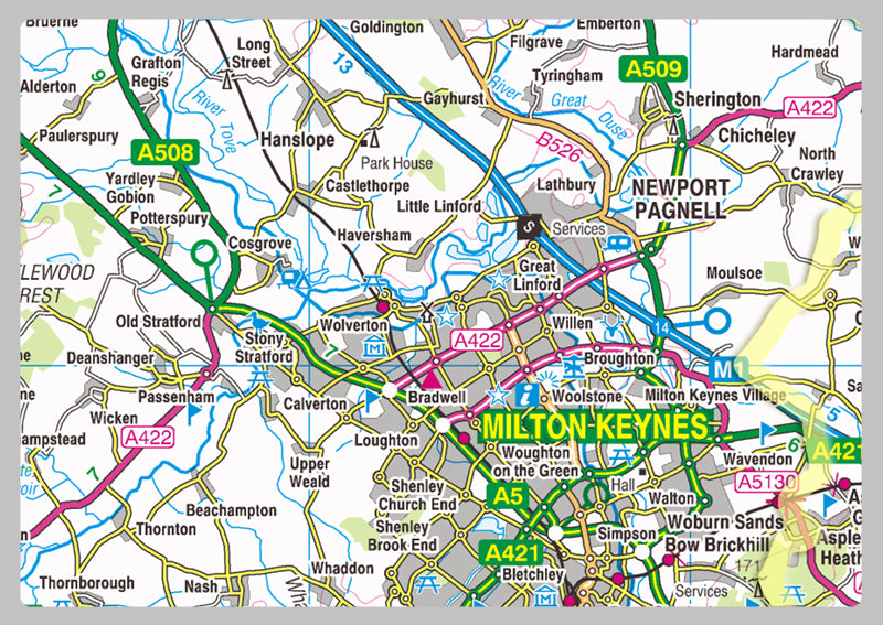
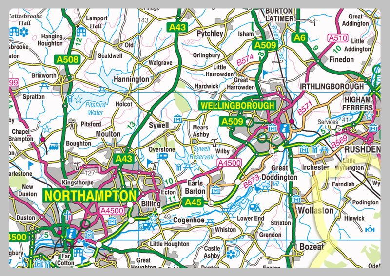
Bedfordshire is a ceremonial county in the East of England. It is bordered by Northamptonshire to the north, Cambridgeshire to the north-east, Hertfordshire to the south and the south-east, and Buckinghamshire to the west. The largest settlement is Luton, and Bedford is the county town.
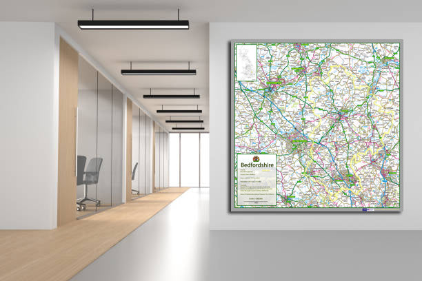
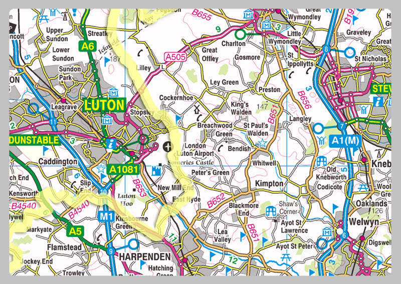
Our County maps are 1:100,000 scale and includes town names, villages, major and minor roads, motorways, rivers, lakes, forests and more. Perfect for businesses, home office, travel and route planning, our County maps are a useful resource.
Laminated option: Printed onto high quality paper and finished with a gloss laminate.