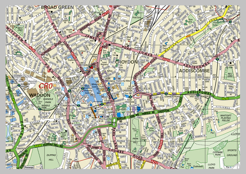
Croydon London Borough Map
This detailed map covers the London Borough of Croydon. This Croydon London Borough Map is an invaluable tool, displaying the borough boundaries, roads, railways, land features, water features and tourist information. Additionally, the bottom right corner contains key data like the region size, estimated population (2014), postcodes, dialing codes and transport zones. Professionals and visitors both will appreciate the ability to quickly and efficiently explore the area, finding landmarks, attractions, and public facilities. Its clear and easy-to-read design ensures that users can quickly and accurately locate the information they need.
Laminated option: Printed onto high quality paper and finished with a gloss laminate.
Vinyl option: Printed onto heavy weight vinyl with metal eyelets for easy hanging. The material is very durable and hard wearing and can also be rolled up for storage and wiped clean.