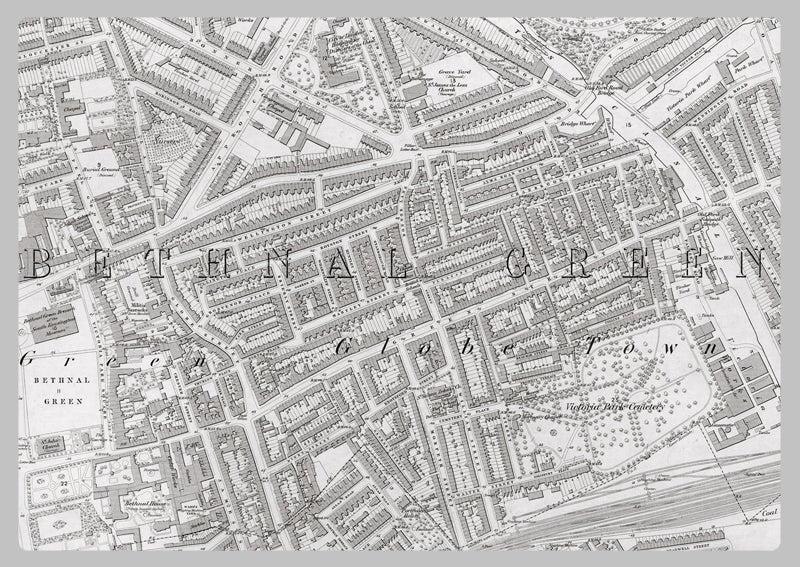
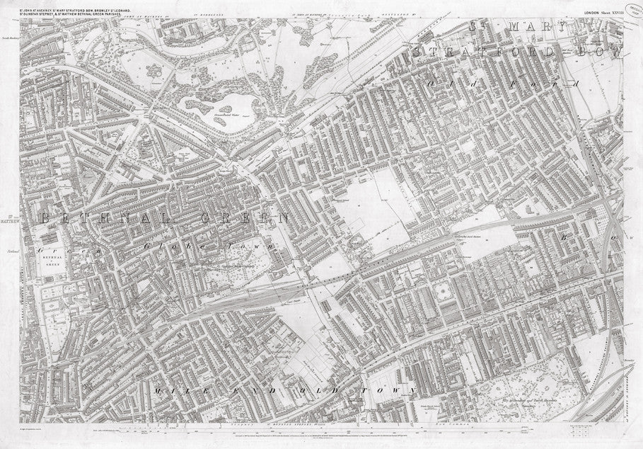
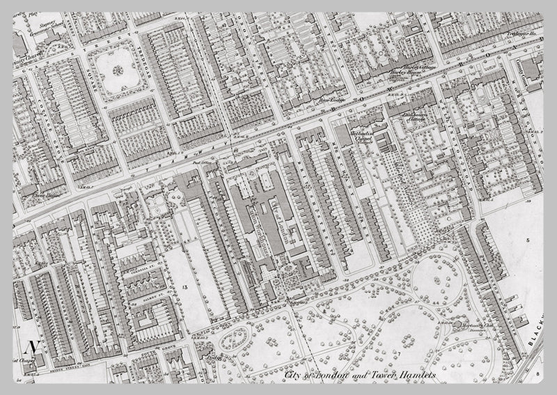
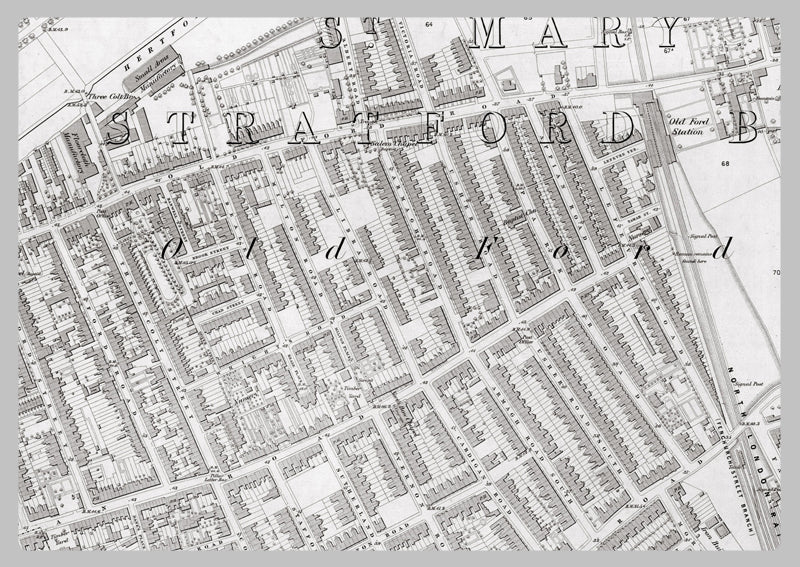
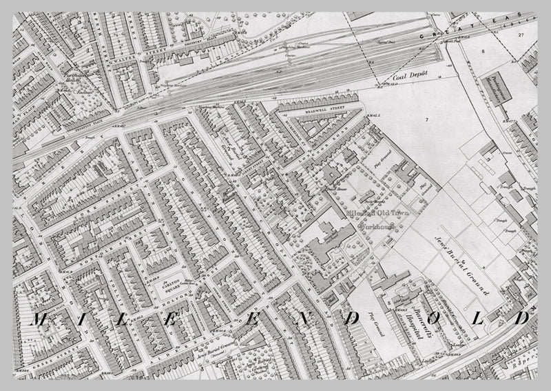
London 1872 Ordnance Survey Map - Sheet XXVIII - Bethnal Green
This Bethnal Green - London 1872 Ordnance Survey Map - Sheet XXVIII print is of exceptional quality and detail. Produced in 1:2,500 scale for maximum accuracy, the scan faithfully preserves the original map's features, including the stamp in the corner. The map provides an insightful look into 19th century London, showing features such as buildings, roads, landscape, road names, industrial types, and businesses. With so much information, you'll find yourself studying this map for hours.
High Quality Paper: Printed onto high quality poster paper which is durable and is non- tearable.