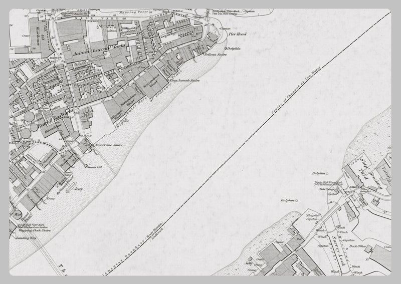
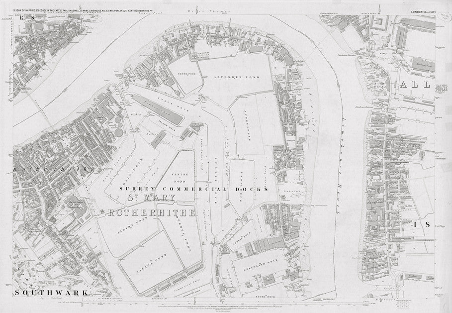
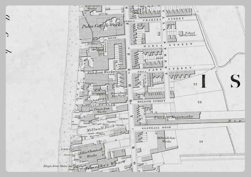
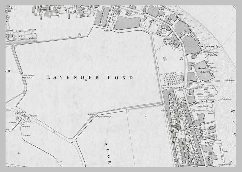
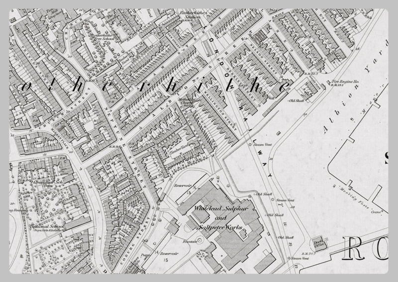
London 1872 Ordnance Survey Map - Sheet XLVI - Surrey Docks
This 1872 Ordnance Survey map of Surrey Docks - London offers an exceptional level of detail, as it was produced at a 1:2,500 scale. A high resolution scan of the original has preserved all of its intriguing features, such as the stamp in the corner. This fascinating map provides a glimpse into 19th century London with its depictions of buildings, roads, and the landscape, as well as names of roads, industries and businesses. A highly informative reference that will keep you engaged for hours.
High Quality Paper: Printed onto high quality poster paper which is durable and is non- tearable.