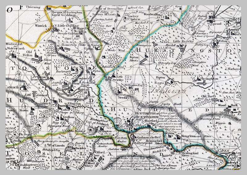
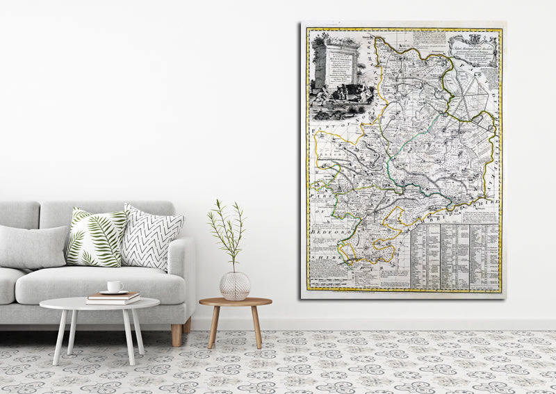
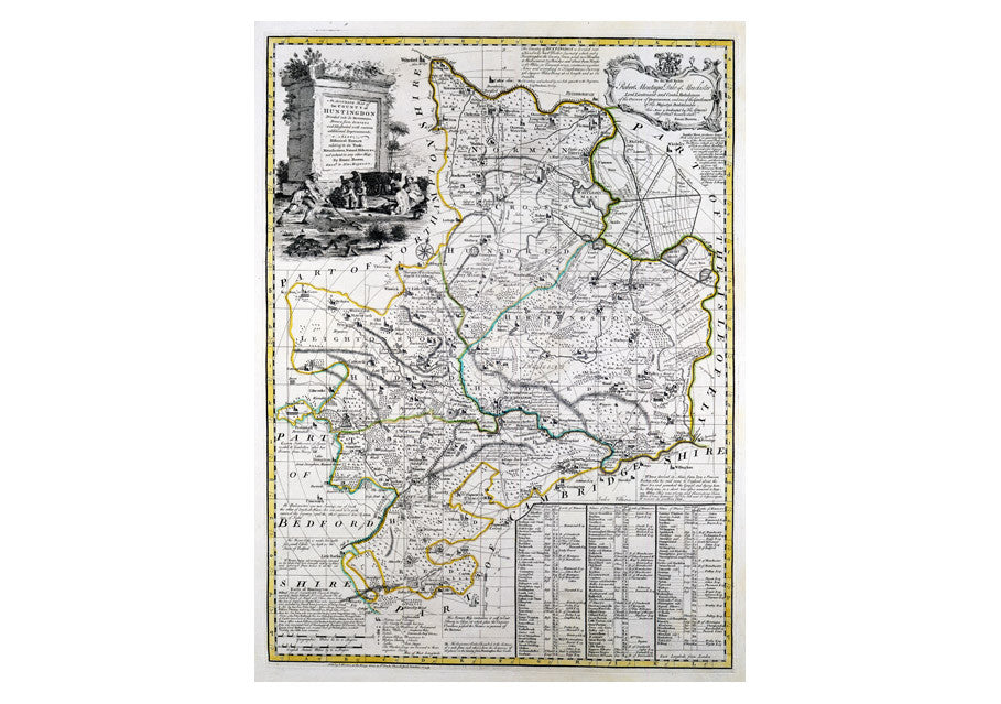
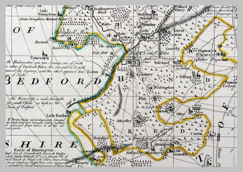
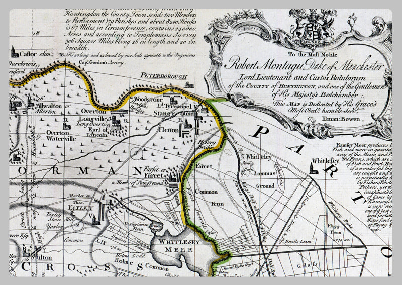
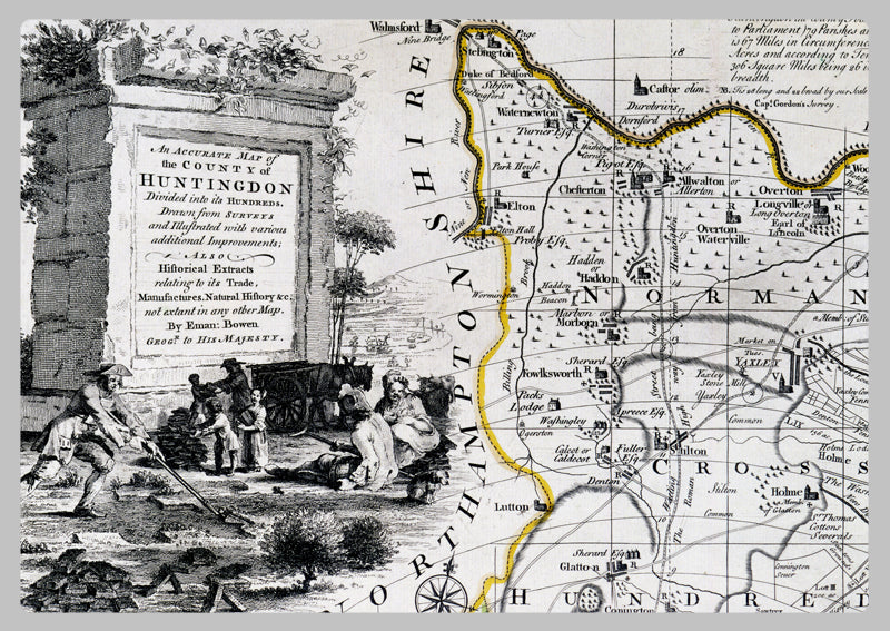
1749 - Map Of Huntingdon by Emanuel Bowen
Emanuel Bowen, an English cartographer and engraver who served George II of England and Louis XV of France, was a prominent figure of the 1700s. His protégés included Thomas Kitchin and Thomas Jeffreys. This map is a faithful reproduction of the County of Huntingdon showing its hundreds, with addendums featuring trade, production, and natural history details. It is a detailed and accurate map, providing a view of life in the 1700s that is still applicable today.
High Quality Paper: Printed onto high quality poster paper which is durable and is non- tearable.