Northern Europe Physical Map
The geographic boundaries of Northern Europe have various interpretations, with a narrow definition placing it above the southern Baltic Sea at 54°N, and a broader definition encompassing factors like climate and ecology. This region may include the British Isles, Fennoscandia, the Jutland peninsula, the Baltic plain, and surrounding islands, with the potential inclusion of Greenland as it is politically part of Denmark, though not geographically situated in Europe.
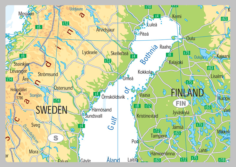
Our Physical Map of Northern Europe is vibrant and informative, with easy-to-read text and bright colours. Including capital cities, rivers, major roadways, towns, surrounding bodies of water and mountain ranges. The physical aspects such as land elevation are clearly showed and makes for an attractive map either for the home, office or school, for display on a wall or for desk work.
Laminated option: Printed onto quality paper and finished with a gloss laminate.
Vinyl option: Printed onto heavy weight vinyl with metal eyelets for easy hanging. The material is very durable and hard wearing and can also be rolled up for storage and wiped clean