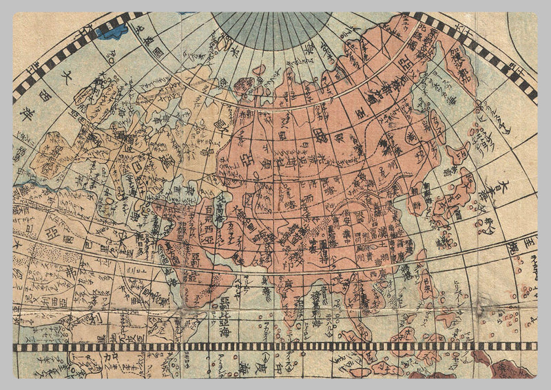
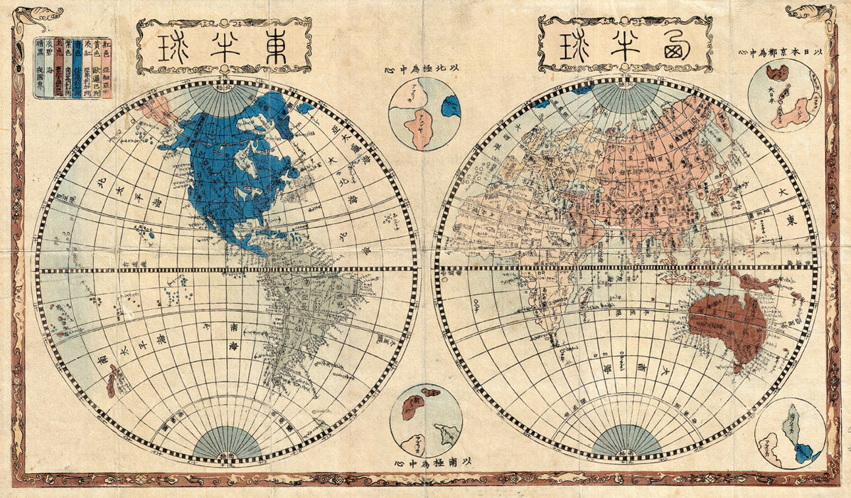
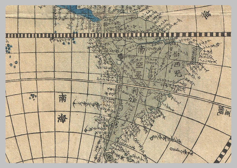
1848 - Japanese Newly Made Map of the Earth by Shincho Kurihara and Heibe Choijya
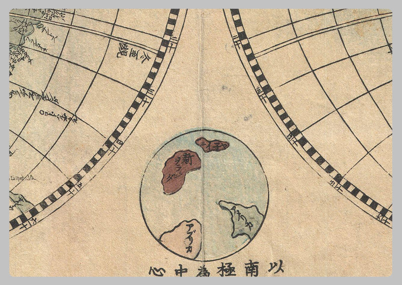
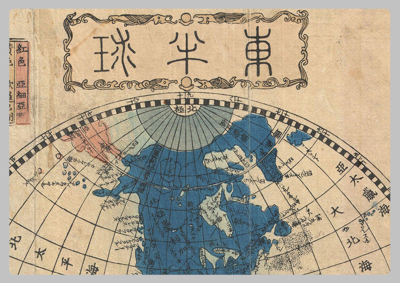
This 1848 Japanese map created by Shincho Kurihara and Heibe Chojiya is a remarkable example of globular cartography. Due to the Sakoku policy of 1633-1853, Japanese cartographers had limited knowledge of what lay beyond their boundaries and relied on Dutch traders in Nagasaki and Chinese merchants trading with the Ryukyu Kingdom. Thus, they largely adopted European cartographic conventions of the 17th century, such as a depiction of California as an island and the non-existent continent of Terre Australis. This map is an invaluable tool to those interested in connecting with Japan's past, giving an insight into the perceptions of the region's geography held by Japanese cartographers at the time. It's a unique and fascinating glimpse into Japanese history.
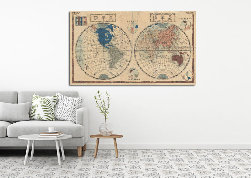
High Quality Paper: Printed onto high quality poster paper which is durable and is non- tearable.