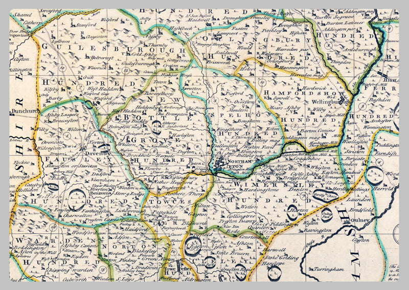
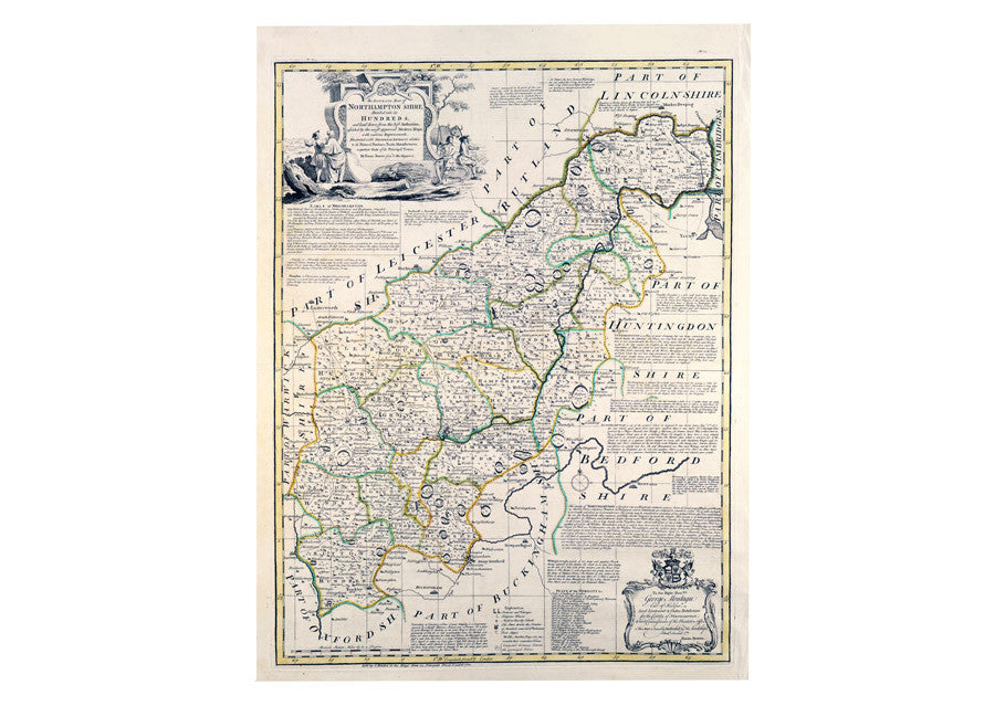
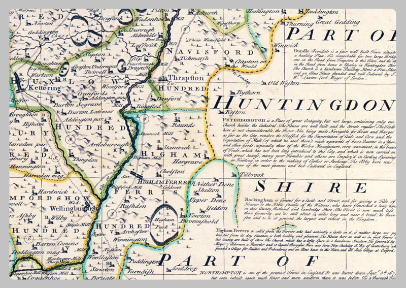
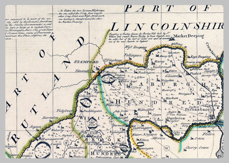
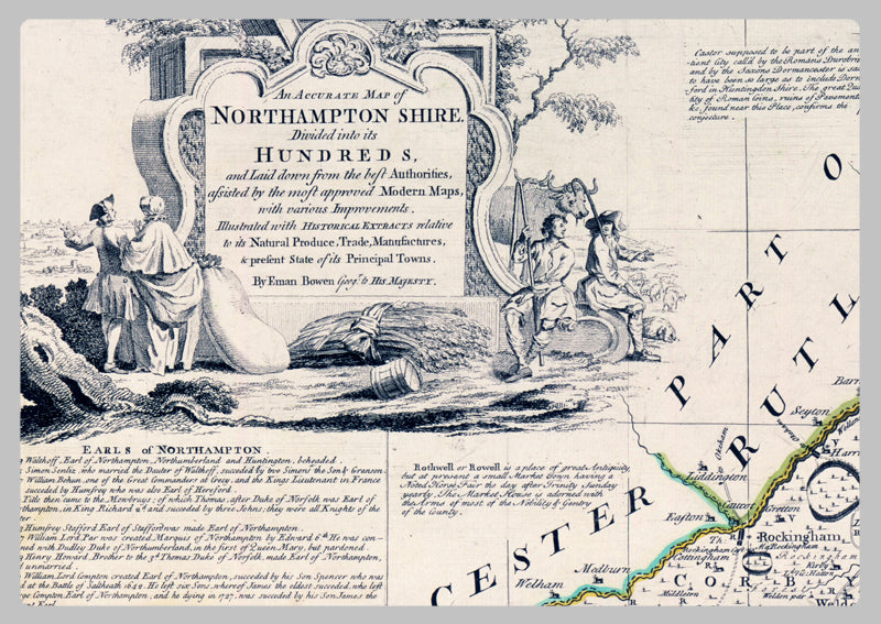
1760 - Map Of Northamptonshire by Emanuel Bowen
Emanuel Bowen, a preeminent 18th Century map engraver for George II of England and Louis XV of France, was a mentor to Thomas Kitchin and Thomas Jeffreys. This Antique 1760 Map Of Northamptonshire by Bowen is a faithful reproduction, divided into its hundreds, that includes survey data and improvements, as well as the trade, manufacturing, and state of the major towns. This map is a true classic and rare collector's item, invaluable to those hoping to better understand the history of Northamptonshire.
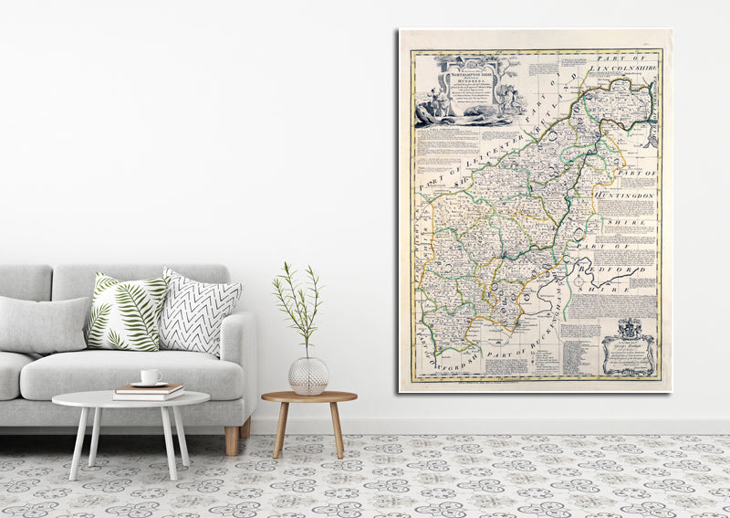
High Quality Paper: Printed onto high quality poster paper which is durable and is non- tearable.