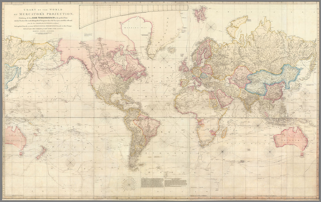
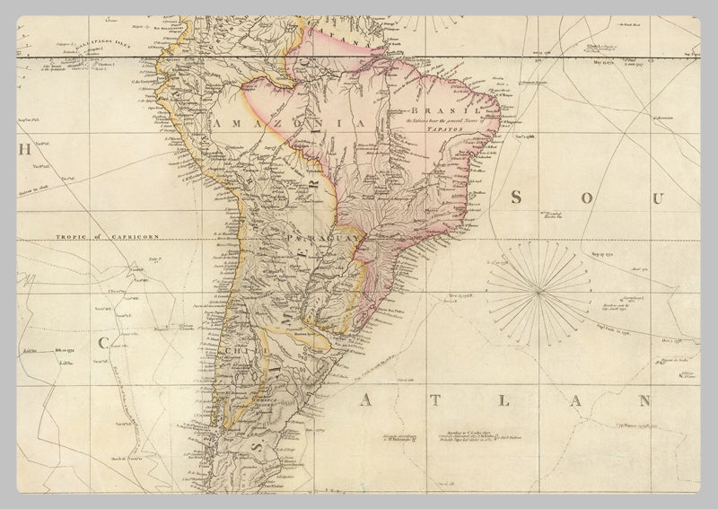
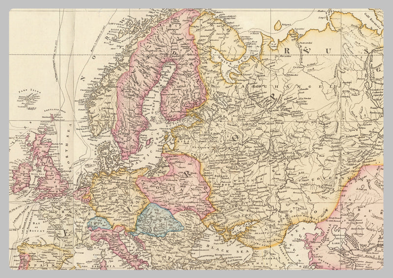
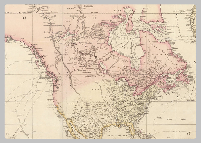
1768 - World Map by James Cook
James Cook (1728-1779), an English explorer, navigator, and mapmaker, made multiple voyages to the Pacific Ocean between 1768-1779. His recorded contact with Australia's eastern shore, Hawaii, and circumnavigation of New Zealand are well-known. He additionally created exhaustive maps of Newfoundland.
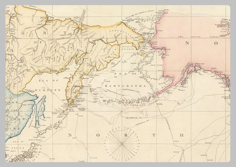
Cook made his mark as an explorer in the Pacific, the center of this 1768 map. His three treks are charted on it, from the observation of the Transit of Venus at Tahiti, to his visits to New Zealand and the eastern coast of Australia (1768-1771). He then disproved the theory of a wide Southern Continent (1772-5), and finally attempted to locate the elusive Northwest Passage (1776-1780). The Tahiti and New Zealand points mark where Cook returned multiple times during his travels. The extreme north and south indicate large ice fields.
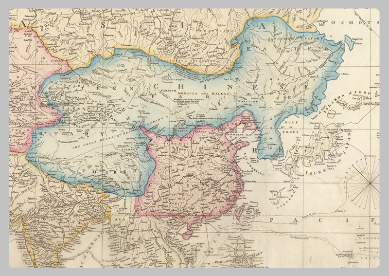
This map accurately depicts the place names given by Cook while exploring the east coast of Australia northward from Botany Bay. The western coast was recorded during the Dutch East India Company's encounters with the shore, as they utilized the windy Roaring Forties to search for trade and resources. Drawn from first-hand experience and with reference to the latest maps and travel accounts by Henry Roberts, who served on the second and third voyages, this map is an invaluable source of historical knowledge. This meticulously crafted map gracefully transcribes Cook’s journeys, offering an unprecedented level of detail in terms of geography, topology, and the local culture of the time. It is a remarkable time capsule that captures the “Age of Exploration”, and allows us to experience the world as it was over 250 years ago.
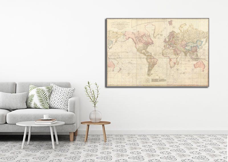
High Quality Paper: Printed onto high quality poster paper which is durable and is non- tearable.