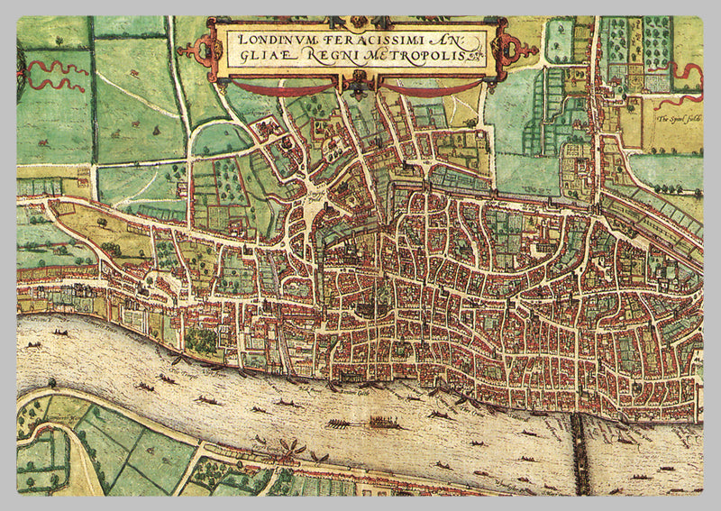
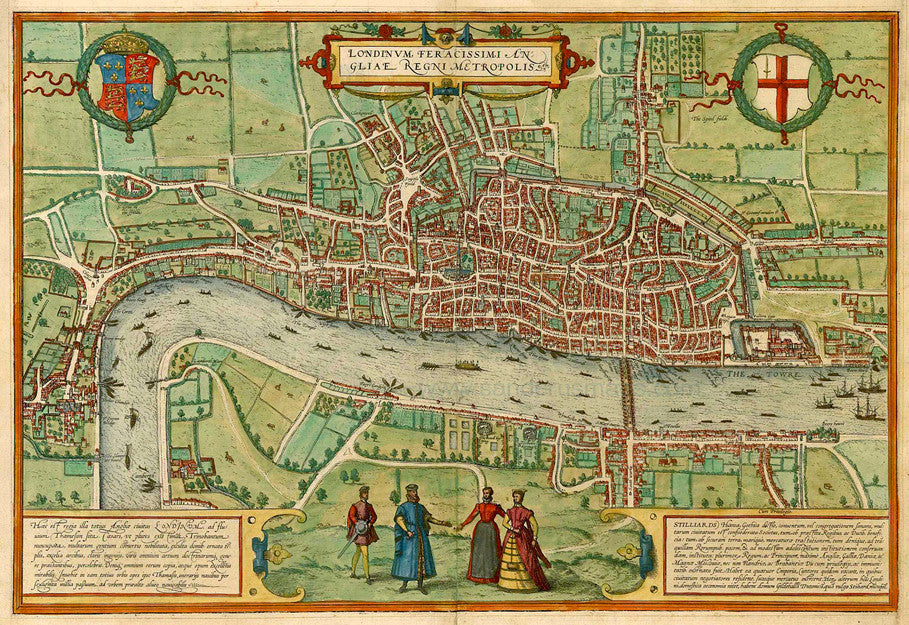
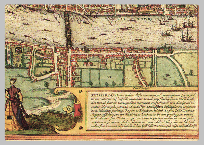
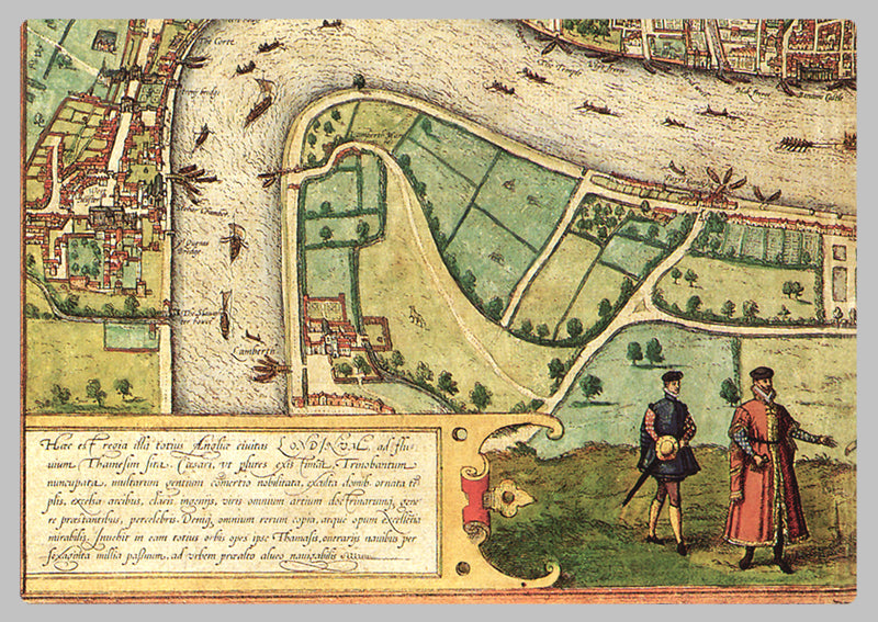
1572 - Map of Elizabethan London by Braun & Hogenberg
A remarkable map thought to be the earliest surviving entire city plan of the Elizabethan capital, believed to have been first printed in 1572. It is a stunning decorative map, offering a glimpse of the then geography of the city of London. Notable features from the piece comprise the Tower of London, the Charterhouse monastery, the Old St. Paul’s Cathedral, a bear baiting arena and even local wildlife. Presenting the city in a way very similar to how Shakespeare would have known it, the plan is embellished with illustrations of costumes and coats of arms from the Elizabethan era. The map was originally part of a large collection of maps, an atlas edited by the Swiss cleric George Braun and drafted by the Bavarian cartographer Frans Hogenberg. A very desirable and early plan of London, shown from the Tower to Westminster, with the City already built-up and a ribbon development westwards along the Strand. On the south bank bull and bear-baiting rings are prominent. The rare intermediate state with Westmester changed to Westmunster and the Royal Exchange not inserted. This highly detailed map is sure to be a focal point of any collection, with its intricate details and true-to-life depiction of the capital at the time, making it perfect for those looking for a historically accurate representation of Elizabethan London.
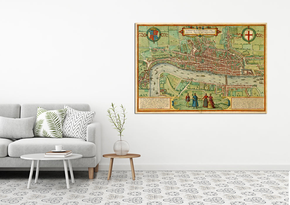
High Quality Paper: Printed onto high quality poster paper which is durable and is non- tearable.