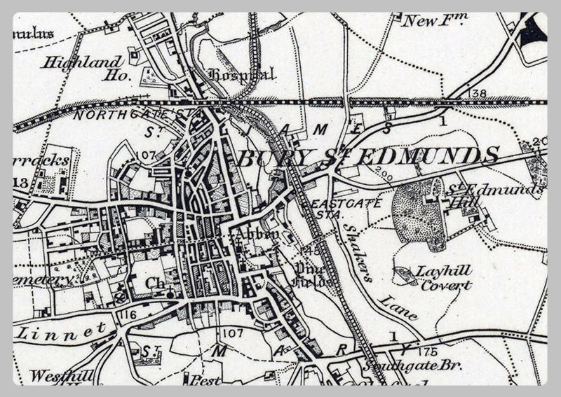
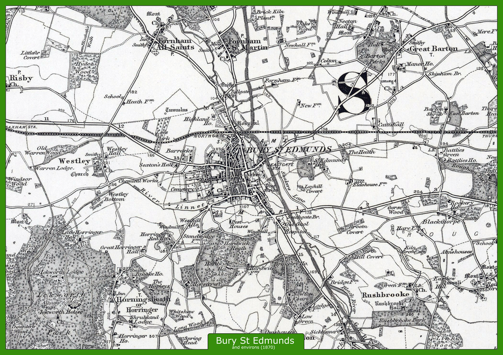
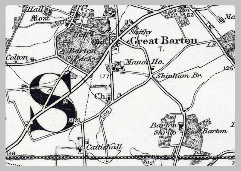
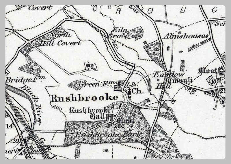
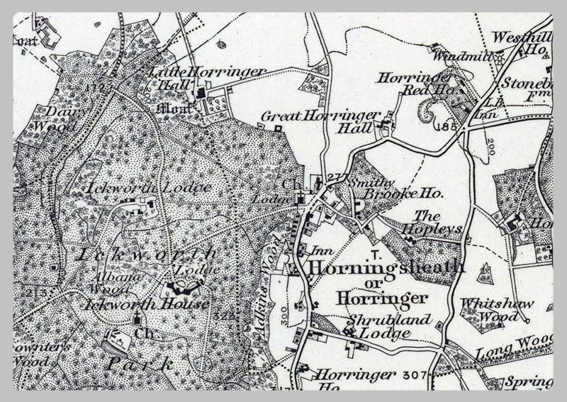
Bury St Edmunds and Environs Ordnance Survey Map 1870
This 1870 Ordnance Survey map of Bury St Edmunds and Environs is highly detailed showing roads, buildings, lakes, fields and lots more. It's perfect for anyone interested in the history of Bury St Edmunds and what it looked like over 100 years ago. It's a great gift for any history enthusiast, providing a unique look into the past.
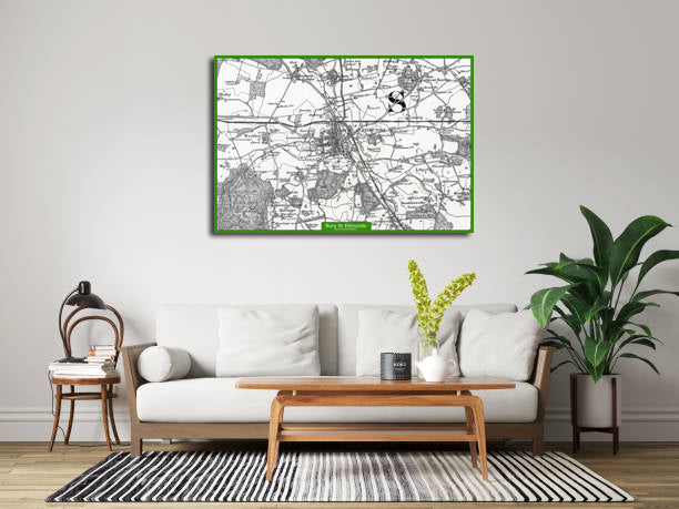
High Quality Paper: Printed onto high quality poster paper which is durable and is non- tearable.