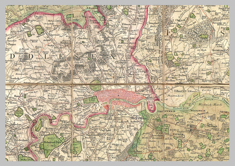
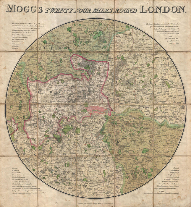
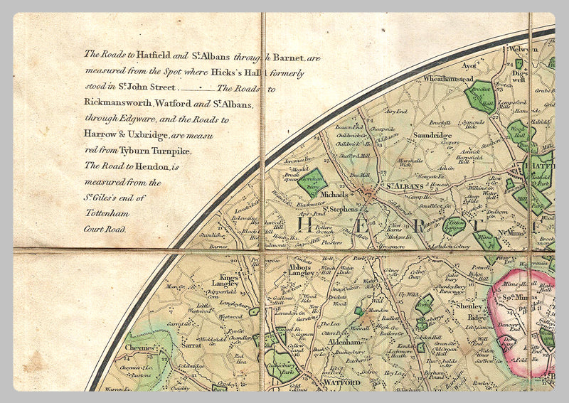
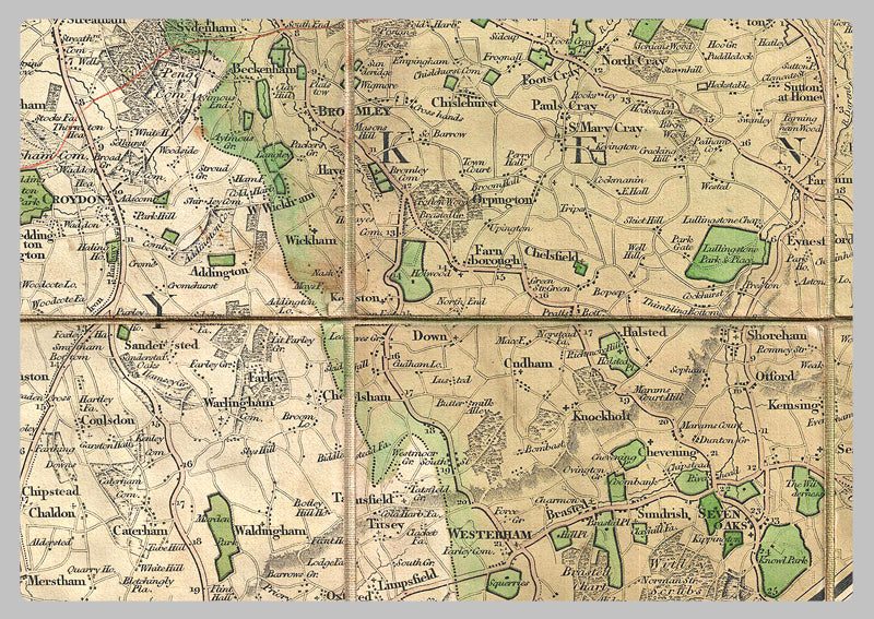
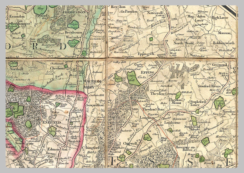
1820 - Mogg's Twenty Four Miles Round London Map
Take a tour of London and its neighboring towns, from Windsor to Ware, Brentwood to Gravesend, Sevenoaks to Dorking & Ripley. This handy map, created just after the Napoleonic Wars, highlights the roads and their distances from London. Keep an eye out for the orange line that shows the reach of the Two Penny Post delivery!
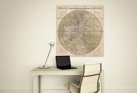
High Quality Paper: Printed onto high quality poster paper which is durable and is non- tearable.