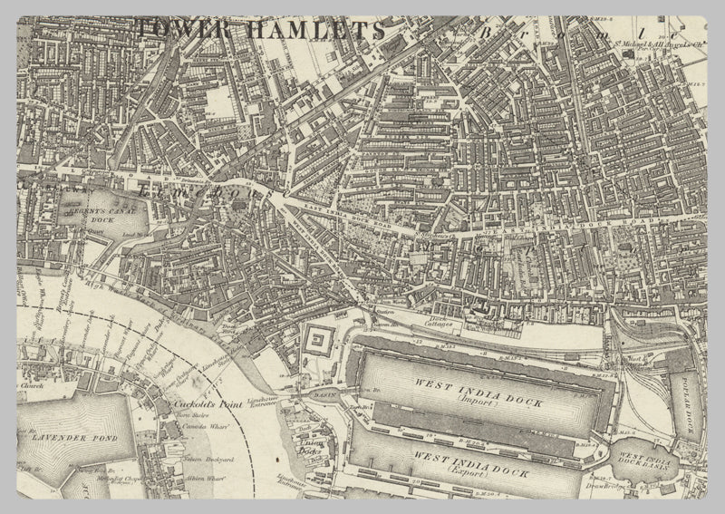
1872 South East London Ordnance Survey Map
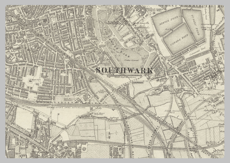
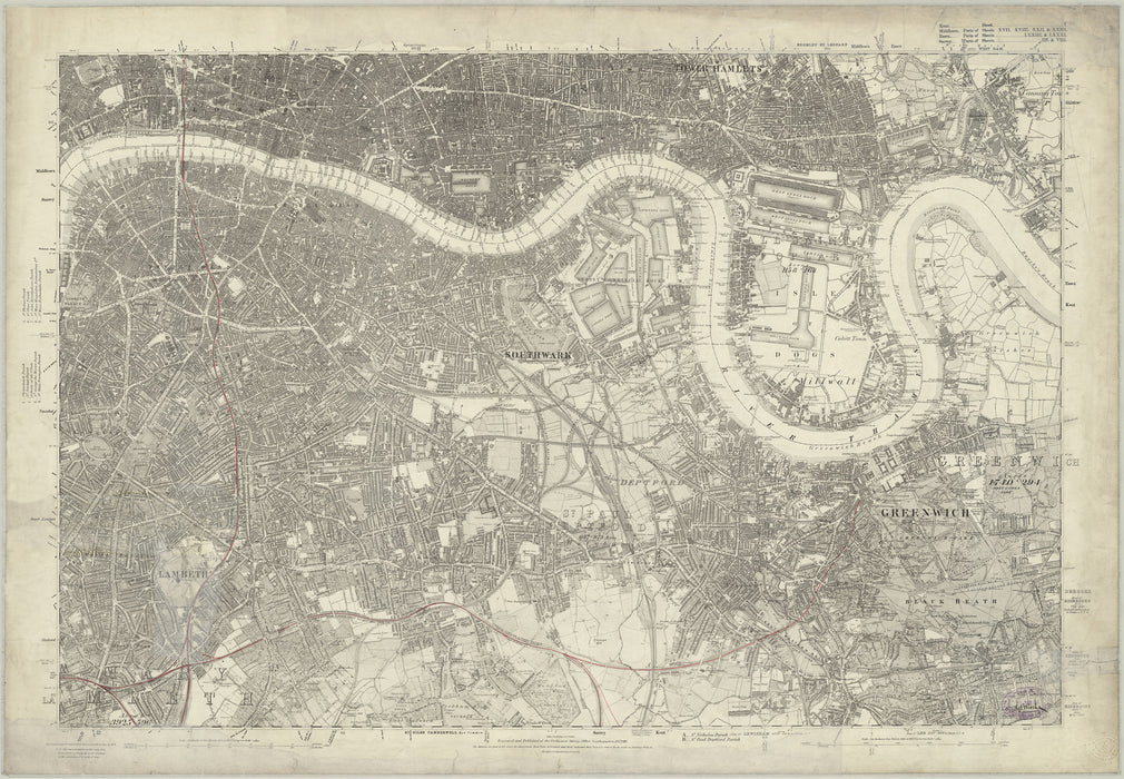
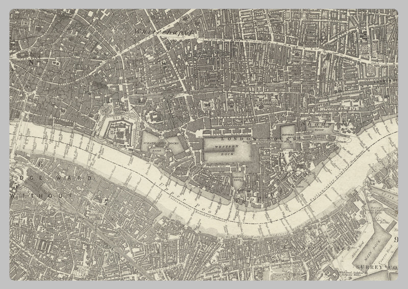
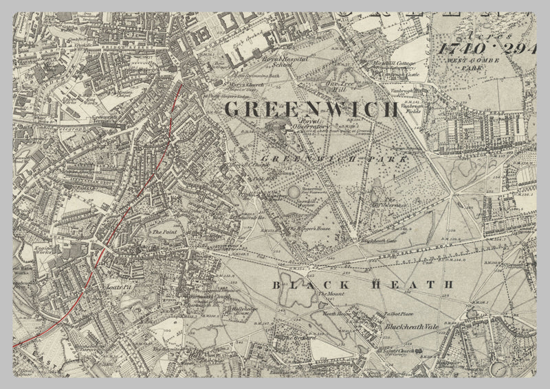
This 1872 Map of South East London features a 1:10,560 scale of the bustling Victorian city - from Barking in the east to The Oval in the west and Whitechapel in the north, down to Peckham in the south. The intricate details of parks, streets, churches and railway lines are accurately presented to make it an invaluable resource for exploring this historic part of London.
High Quality Paper: Printed onto high quality poster paper which is durable and is non- tearable.